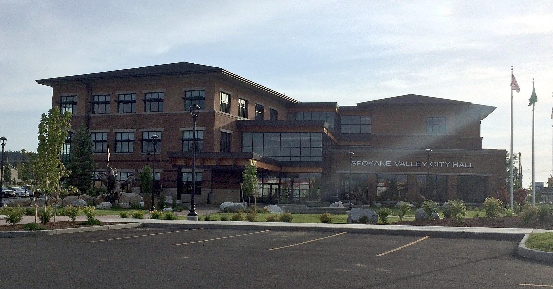

Living in Spokane Valley, WA
City in Spokane County, Washington · population 106,365Updated November 2026
- Homes 32% below Washington
- Rent 23% below Washington
- Incomes 25% below Washington
Spokane Valley in Washington
Spokane Valley, a city of about 106,000 people in Washington, suits budget-minded renters wanting lower rent than the state. Median rent is about $1,353, 23% below the state, and a typical home is valued at about $382,000, 32% below it; commutes average about 21 minutes. Property crime runs 66% above the state rate, and income is 25% below it, so it may not suit those who put safety first.
Summary written by AI from the official figures on this page only.
Spokane Valley in Washington
Key numbers
Pros and cons of living in Spokane Valley
Pros
- Homes cost 32% less than the Washington median ($382,300)
- Rent is 23% below the Washington median ($1,353 a month)
- Short commutes: 21 minutes on average
Cons
- Nothing stands out from the figures.
Worked out from the figures below, compared with Washington and the US.
Cost of living in Spokane Valley
| Figure | Spokane Valley | Washington | US |
|---|---|---|---|
| Typical home valueZillow, October 2026 | $401,531 | — | — |
| Median home valueCensus ACS 2020-2024 | $382,300 | $564,600 | $332,700 |
| Typical asking rent (a month)Zillow, October 2026 | $1,507 | — | — |
| Median rent (a month)Census ACS 2020-2024 | $1,353 | $1,760 | $1,413 |
| Median household income (a year)Census ACS 2020-2024 | $74,042 | $98,141 | $80,734 |
| Typical property tax (a year)Census ACS 2020-2024 | $3,344 | $4,556 | $3,119 |
Is Spokane Valley safe?
Spokane Valley had 2.3 violent crimes and 33.4 property crimes per 1,000 people in 2025, against 3.3 and 15.5 across the US. Crime rates in small places and places with many visitors can look high because they're counted per resident.
| Figure | Spokane Valley | Washington | US |
|---|---|---|---|
| Violent crimes per 1,000 peopleFBI, 2025 | 2.3 | 2.9 | 3.3 |
| Property crimes per 1,000 peopleFBI, 2025 | 33.4 | 20.2 | 15.5 |
Weather in Spokane Valley
| Figure | Spokane Valley |
|---|---|
| January average lowNOAA 1991–2020, Spokane Felts Fld, WA station | 26°F |
| July average highNOAA 1991–2020, Spokane Felts Fld, WA station | 87°F |
| Rain and snow (water) a yearNOAA 1991–2020, Spokane Felts Fld, WA station | 17 inches |
Schools and education in Spokane Valley
| Figure | Spokane Valley | Washington | US |
|---|---|---|---|
| Public schools in townNCES, 2024-25 | 35 | — | — |
| Adults 25+ with a bachelor's degreeCensus ACS 2020-2024 | 26.5% | 39.6% | 35.7% |
| Median age (years)Census ACS 2020-2024 | 38.3 | 38.3 | 38.9 |
We count public schools by address; we don't rate them.
Hidden costs and risks
The typical property tax bill is $3,344 a year (about 0.87% of the median home value), compared with 0.81% across Washington and 0.94% across the US.
FEMA rates Spokane County's overall natural hazard risk as relatively moderate.
- Overall riskRelatively Moderate
- FloodingRelatively Moderate
- Coastal floodingNot rated
- HurricaneNot rated
- TornadoRelatively Low
- WildfireRelatively Moderate
- Heat waveRelatively Moderate
Ratings are for the whole county, compared with every other US county. “Not rated” means FEMA found no meaningful risk or had too little data.
Daily life
- Home internet90% of households have broadbandWashington 94%, US 91%. Counts subscriptions, not speeds.
- Nearest big citySeattle, WA: 238 milesAbout 4.5 hours by car (rough estimate)
- Commute21 minutes on average, one wayWashington 27 min, US 26 min (Census ACS 2020-2024)
- Nearest airport with flightsSpokane International Airport (GEG): 14 milesAbout 30 minutes by car (rough estimate)
Distances are straight lines from the town center; drive times are rough estimates, not route directions.
Ask about Spokane Valley
Answers come only from the official figures on this page.
Written by AI; numbers are checked against the data. 5 questions a day. Questions are saved, without your name, so we can see what people want to know. Please don't include personal details.
Similar towns nearby
More towns in Spokane County
Spokane · Cheney · Liberty Lake · Airway Heights · Fairwood CDP (Spokane County) · Mead · Country Homes · Otis Orchards-East Farms · Medical Lake · Town and Country · Deer Park · Fairchild AFB · all 14 towns